Transform Your Projects with Drone Surveying Solutions
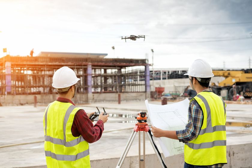
When managing complex projects, you need accurate, efficient, and compliant solutions that seamlessly integrate with your systems. Drone surveying provides the precise data needed to improve safety, reduce costs, and access hard-to-reach areas. With drone surveying, you receive expert guidance and compliance, tailored to your project's unique challenges.
Innovative and Efficient Drone Surveying Services
Leveraging advanced drone technology, we ensure highly accurate, dependable results for all your surveying needs.
- Topographic surveying
- Earth works
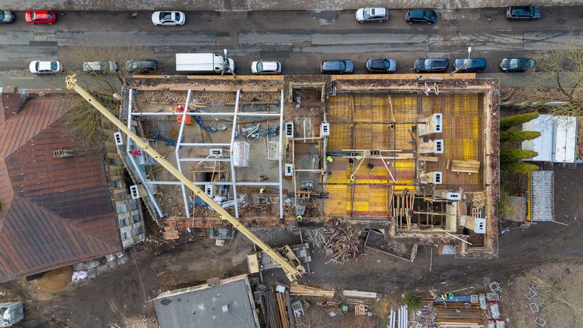
- Project progression (2D and 3D modelling)
- Land acquisition surveys
- Time lapse video
- Review and Updates


Choose Drone Surveying Solutions for precision and reliability
Drone surveying offers fast, safe, and cost-effective solutions, providing precise data and advanced 3D modelling for construction projects.
- Increased Efficiency and Speed
- Improved Safety
- Cost-Effectiveness
- High Accuracy and Precision
- Real-Time Data and Rapid Turnaround
- Access to Hard-to-Reach Areas
- Enhanced Visualisation with 3D Modelling

Projects benefiting from Drone surveys
Combining extensive surveying experience with advanced drone expertise, our services deliver precise, efficient solutions across diverse sectors. From construction to environmental projects, our drone technology enhances accuracy, safety, and project management for the following industries:
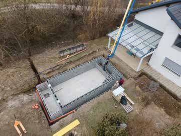
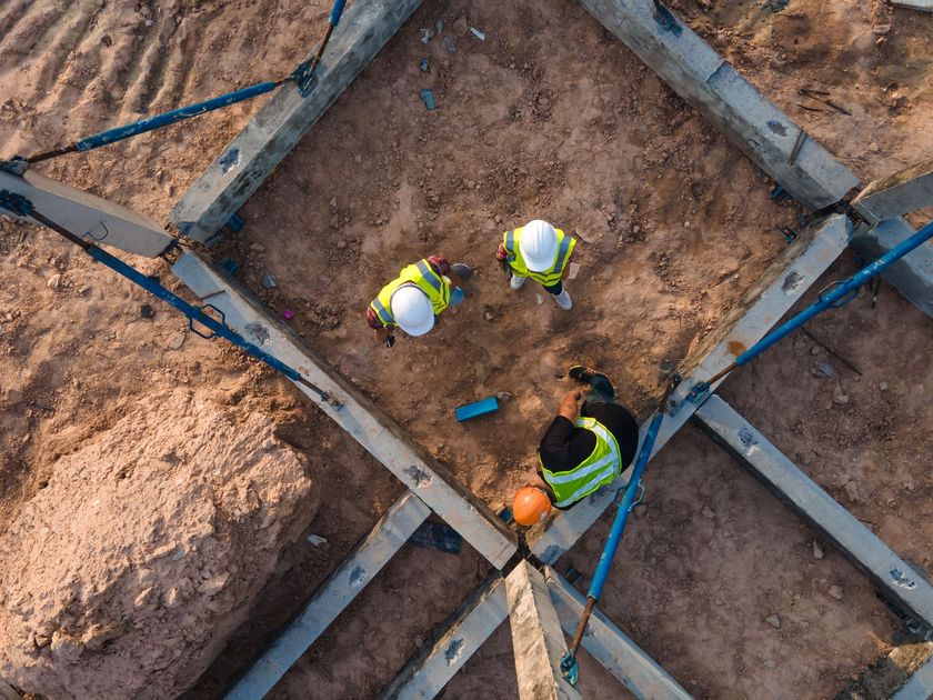
- Construction and Civil Engineering
- Real Estate and Property Development
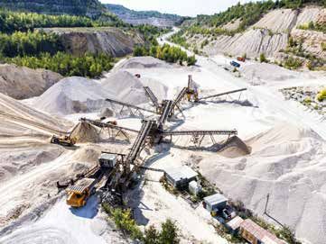
- Mining and Quarrying
- Infrastructure and Utilities
- Environmental and Conservation Projects
- Urban Planning and Smart Cities
- Forestry and Timber Management
- Coastal and Marine Surveying
Tailored Solutions with Expert Guidance and Oversight
When you need a partner who understands your challenges, and delivers solutions that justify costs while ensuring regulatory compliance and data security. A truly collaborative relationship provides expert guidance, integrates with your existing systems, and maintains human oversight, minimising the need for additional training or technical expertise on your end.